
August 13, 2026
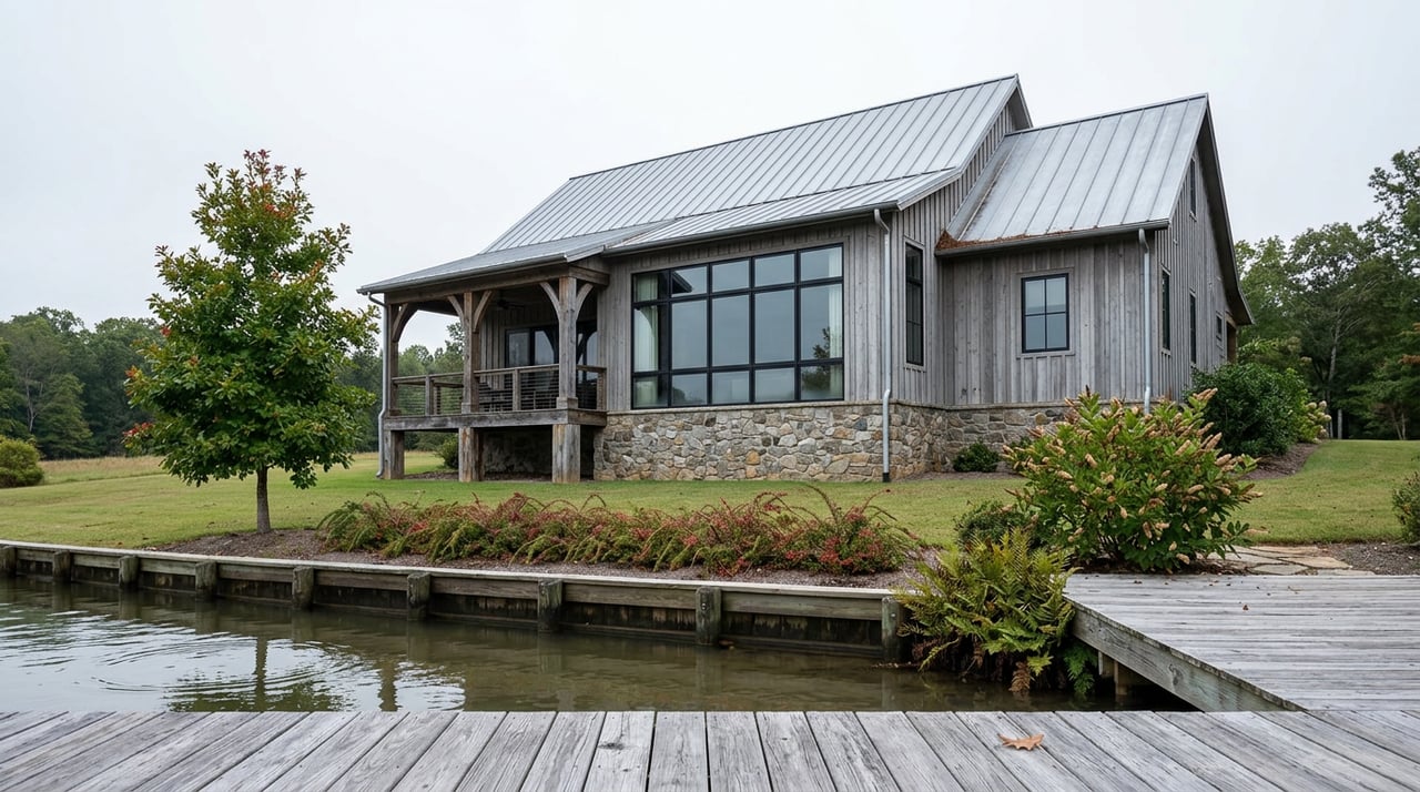
Sometime after Labor Day this year, the water along Lake Wallenpaupack's 52 miles of shoreline will start to drop. Not the ordinary few inches of a dry August, but a real retreat, low enough to strand docks that were floating in June, expose rocks that have sat six feet underwater since spring, and leave a band of mud and stone in front of homes where there was open water a month earlier. Marina staff will pull boats out early. Homeowners who've been through it before will know exactly what to expect. Homeowners who bought their first Wallenpaupack property in the last five years will be seeing it for the first time.
What the drawdown exposes isn't just lake bed. It's a boundary line that most buyers never think to ask about until the water pulls back and shows them exactly where their lot ends and someone else's property begins, because on this lake, that someone else is usually a utility company.
Lake Wallenpaupack looks like a natural lake, and most of the marketing copy around it treats it that way. It isn't one. The lake was created in 1927 when Pennsylvania Power and Light dammed Wallenpaupack Creek to generate hydroelectric power, and the small town of Wilsonville disappeared under the resulting reservoir. Today the lake and its hydroelectric plant are owned and operated by Brookfield Renewable through a subsidiary called BIF III Holtwood, LLC, under a license from the Federal Energy Regulatory Commission that was last renewed in 2005.
That ownership structure is the reason a drawdown happens at all, and it's the reason "lakefront" on Wallenpaupack carries a legal asterisk that it doesn't carry on a natural lake. Brookfield doesn't just supply the water. It owns most of the shoreline, controls the elevation, and holds permitting authority over anything built at or below the waterline, including the dock you're picturing off the back deck.
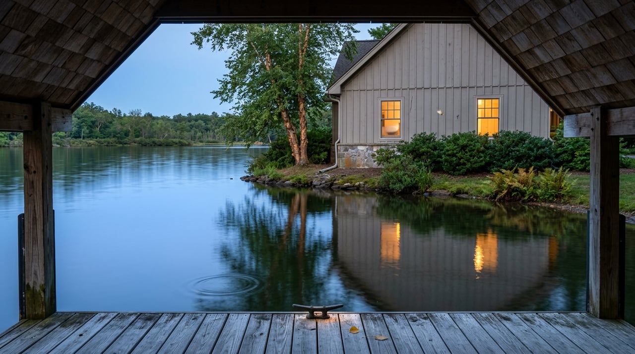
Here's the mechanism that actually separates one "lakefront" listing from another. On most parcels around Wallenpaupack, a property line runs to what's called a project line, a boundary set by Brookfield somewhere above the water's edge. The land between that line and the water itself, sometimes called the project strip, still belongs to Brookfield. A homeowner on one of these lots borders Brookfield's land. They don't own down to the shoreline, and any dock, seawall, or grading work below that line needs Brookfield's sign-off, not just a local permit.
A handful of communities are the exception. Spinnler's Point is one of them: deeds there run all the way to the shoreline with no project strip in between, which is a genuinely rare feature on this lake and a real driver of premium pricing, separate from square footage or finishes.
| Typical shoreline lot (project line) | Communities like Spinnler's Point (deeded to water) | |
|---|---|---|
| Legal boundary | Ends at Brookfield's project line, above the waterline | Runs to the actual shoreline |
| Dock or seawall work | Requires Brookfield permit approval | Still regulated, but the owner controls the land up to the water |
| What buyers should verify | Where the project line sits relative to existing structures | Confirm the deed language directly, not just the listing description |
| Price implication | Priced on the lakefront tier, but with an added layer of third-party approval | Often commands a premium tied specifically to unrestricted shoreline title |
The distinction rarely shows up in a listing photo. It shows up in the deed, and it shows up every five years when the water drops far enough to reveal exactly how much shoreline sits between a homeowner's lawn and the point where Brookfield's land begins.
Brookfield's own facility notice for Wallenpaupack states that starting after Labor Day, the lake elevation will begin drawing down for regulated testing and maintenance of the dam, on a tentative schedule Brookfield posts directly. That phrasing, "regulated testing," is doing real work. It's not a discretionary decision. It's a FERC-mandated inspection that happens on a five-year cycle.
The pattern is easy to verify against the utility's own history. A 2011 press release from PPL, which owned the lake before Brookfield, described the same five-year maintenance drawdown lowering the lake to roughly elevation 1,175 feet. A decade later, WNEP reported that the 2021 drawdown lowered the lake to 1,174 feet above sea level, describing it as a routine inspection Brookfield conducts every five years. A Pine Crest Marina employee named Tom Hiller told WNEP at the time that the marina had to pull docks out earlier than usual and that the drop that year would be a little steeper than normal. A Greentown resident, Mike Baronski, described the practical effect on the water: rocks that are normally submerged sit right at prop height, and boaters who don't know the lake well are the ones who find them the hard way.
Run the math forward from 2021 and you land on 2026. This fall's drawdown isn't a one-off announcement. It's the same cycle that's been running on this lake for at least fifteen years, and it's arriving again on schedule.
For a buyer, that timing matters for a simple reason: this is one of the only stretches of the next five years when a shoreline lot's actual condition, and the actual location of the project line, will be visible without diving gear.
None of this is abstract when it comes to price. Recent listing activity on the lake has shown lakefront homes trading in a meaningfully higher price-per-square-foot band than lake-access homes across the road, with waterfront parcels commanding a substantial premium over comparable non-lakefront properties nearby. Shoreline frontage itself carries its own per-linear-foot value, and an existing, permitted dock or boathouse adds a separate premium on top of that, reflecting how much friction a buyer avoids by not having to apply for one.
That friction is real. Dock permits through Brookfield have not been fast to come by in recent reporting, with buyers describing wait times stretching well past a year in some cases. A buyer who assumes a "lakefront" price includes an easy path to a private dock, without checking whether one is already permitted and where the project line falls, can end up paying a lakefront premium for a property that takes over a year to actually put a boat on the water.
Does the drawdown mean the lake is shrinking permanently? No. It's a scheduled, temporary lowering for dam inspection and maintenance, and the lake returns to normal pool once the work is done.
Can I do shoreline work myself once the water drops? Not without approval. Brookfield's own guidance is clear that rules governing work at or below the normal high water mark apply regardless of whether the drawdown makes that area easier to reach.
Does every property on the lake have a project line? Most do, since Brookfield owns the majority of the shoreline under its FERC license. Communities where deeds run directly to the water, like Spinnler's Point, are the exception rather than the rule.
Is now a bad time to buy because of the drawdown? Not necessarily. For a buyer trying to evaluate shoreline condition and dock feasibility honestly, a drawdown year can actually be the clearest window to see what you're getting before you close.
If you're comparing lakefront listings on Wallenpaupack and want a straight answer on where a specific property's project line falls, or what its dock situation actually looks like before you write an offer, Lake Homes PA can walk the shoreline with you. Schedule a free consultation.
Stay up to date on the latest real estate trends.
With decades of experience and unmatched local knowledge, we’re committed to making your real estate journey smooth, informed, and enjoyable.
LINDA HANF
DAVID HANF
ADDRESS 289 MAPLE LN GREENTOWN, PA 18426